Menu
Home
Program
Upcoming events
Library
The New Anthology
Videos
Podcast
Blog
Community
Mission
Sponsors
Become a member
Donate
Legacy Giving
Our team
Outreach
Quincy Club
Young Minds Network
Dialogues
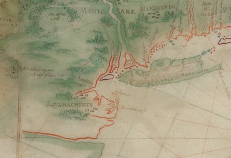
Detail of the Figurative Map (1614), with a triangular island labeled “Manhates”
Search
↑